

Author: Kirk Mahr | Published on April 4th, 2023
CLOUD FORMATION
Clouds are visible masses of water vapor which are transformed into water droplets and ice crystals. Whether ice or water is formed is dependent upon the temperature of the air in the cloud, high clouds are in colder air than low clouds. The 3 key ingredients required for Earth’s cloud formation are Sun ( heat of infrared rays ), water ( oceans, lakes, plants ) and the atmosphere surrounding the planet. These 3 key ingredients are also required for life on our planet.
Requirements for clouds to form:
- Evaporation: Water in oceans, lakes, plants etc are heated by sun rays or by wind blowing across the water surface vaporizing the water into the air
- Convection: The process of vaporized water rising up into the atmosphere.
- Condensation: The vapor grows colder and colder as it rises higher. The vaporized gets cold enough that the vapor turns back into liquid and attaches to dust particles in the air forming droplets. The droplets attach to each other and form clouds.
- The Sun: The source of heat ( energy ) which effects all of our weather as temperature, cloud formation, pressure systems and wind.
- Atmosphere: The mostly invisible blanket surrounding earth that keeps the heat in and excess radiation out.

CLOUD TYPES
The above cloud chart from jason.org show at what altitudes the different clouds appear.
Clouds are classified according to appearance ( visual texture ) and their height above ground level.
The following cloud roots and translations summarize the components of this classification system:
1) Cirro-: Curl of hair, high level.
2) Alto-: Mid level.
3) Strato-: Layer of cloud, low level.
4) Nimbo-: Rain, precipitation.
5) Cumulo-: Heaping.
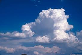
CUMULUS Clouds are the most common clouds, the low-level white clouds look like puffy stacks of cotton balls. These are the clouds in which we can visualize rabbits, faces and alligators and what the imagination can render. They are are detached and individual. If cumulus clouds are present and are are not too tall the weather is typically nice. If conditions allow these can grow in height and size and can eventually form into cumulonimbus clouds which can indicate bad storms are likely. All cumulus clouds develop as a result of convection.

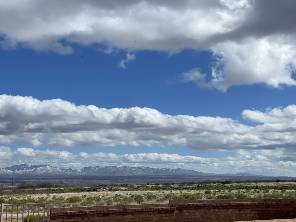
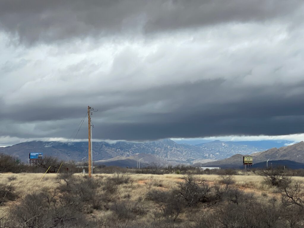
STRATUS Clouds are not puffy or billowing but are typically a gray color at the bottom which indicates water. They look like a continuous layer ( Strato ). They offer a gloomy overcast day and can provide light rain or drizzle, rain or snow.
CUMULONIMBUS low-level clouds grow on hot days when warm, wet air rises very high into the sky. From far away, they look like huge mountains or towers. If you watch and pay attention you can see the clouds change and keep on growing. These clouds can produce violent weather including heavy rain, hail and tornadoes.
High level clouds are Cirrus, Cirrostratus, and Cirrocumulus
High level clouds are far up in the sky, about 4 to 7 miles altitude, where temperatures are below freezing, so they are made of ice crystals.

Cirrus Clouds : photo by author
CIRRUS Clouds looks like thin wispy curly locks of hair as shown in the image. Seeing these clouds in the sky usual tells us we will have fairly nice weather for a couple of days. Cirrus clouds indicate a change is coming.
Cirrostratus Clouds : photo by author
CIRROSTRATUS Clouds are also high level but fill most of the sky and look like very-very thin batting in a blanket. They are commonly found in winter months and are ice crystals. The Sun or Moon above cirrostratus clouds give the appearance of having rings around them, which is caused by the light bouncing between the ice crystals. Cirrostratus clouds might indicate rain and/or snow can occur in the next day, although not very probable.
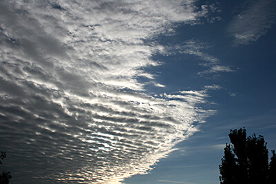
Cirrocumulus Clouds : photo by author
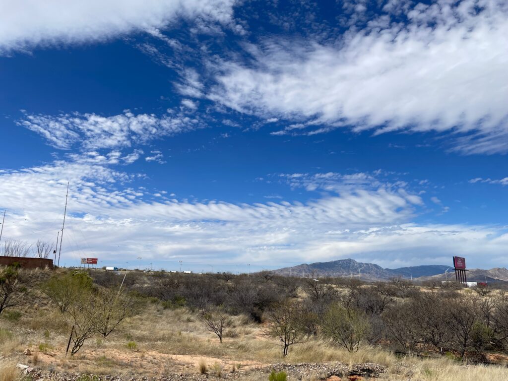
CIRROCUMULUS Clouds, also high level, are layered and have small clumps/lumps, see the image. These clouds can form what look like white color waves in the sky. Sunrise and sunset against cirrocumulus clouds can be quite impressive as the red and yellow light reflects along the bottom. Weather prediction: Fair, but cold.( the clouds are ice )
Mid level clouds are altostratus, altocumulus and Nimbostratus
Alto Mid level clouds are between high level cirrus clouds and low level stratos clouds. The mid level clouds altitude is generally 1.5 miles to 4 miles above the ground. Depending on temperature, altitude and time the clouds may consist of water vapor, ice crystals or both.
ALTOCUMULUS mid-level clouds are gray or alternating with white composed of ice crystals and water droplets. These clouds have a rippled appearance in which air is rising or falling amongst the ripples depending on the localized air temp and water content. Altocumulus clouds usually cover the entire sky. A weather prediction might be fair with these clouds present, although over the span of a day of transformation could lead to rain.
ALTOSTRATUS mid-level clouds are gray or blue-gray clouds composed of ice crystals and water droplets. The clouds usually cover the entire sky. Weather prediction: Be prepared for continuous rain or snow!
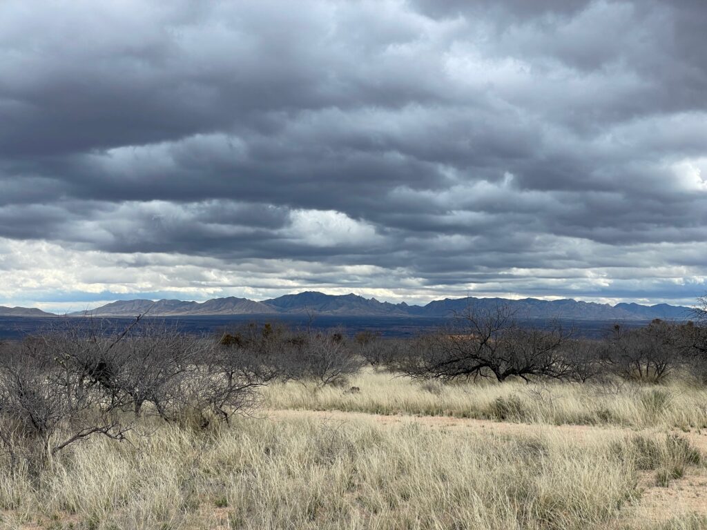
NIMBOSTRATUS mid-level clouds are dark gray clouds that appear to dissolve into falling rain or snow. They are so thick that they often blot out the sunlight. Nimbostratus clouds provide gloomy days with rain or snow
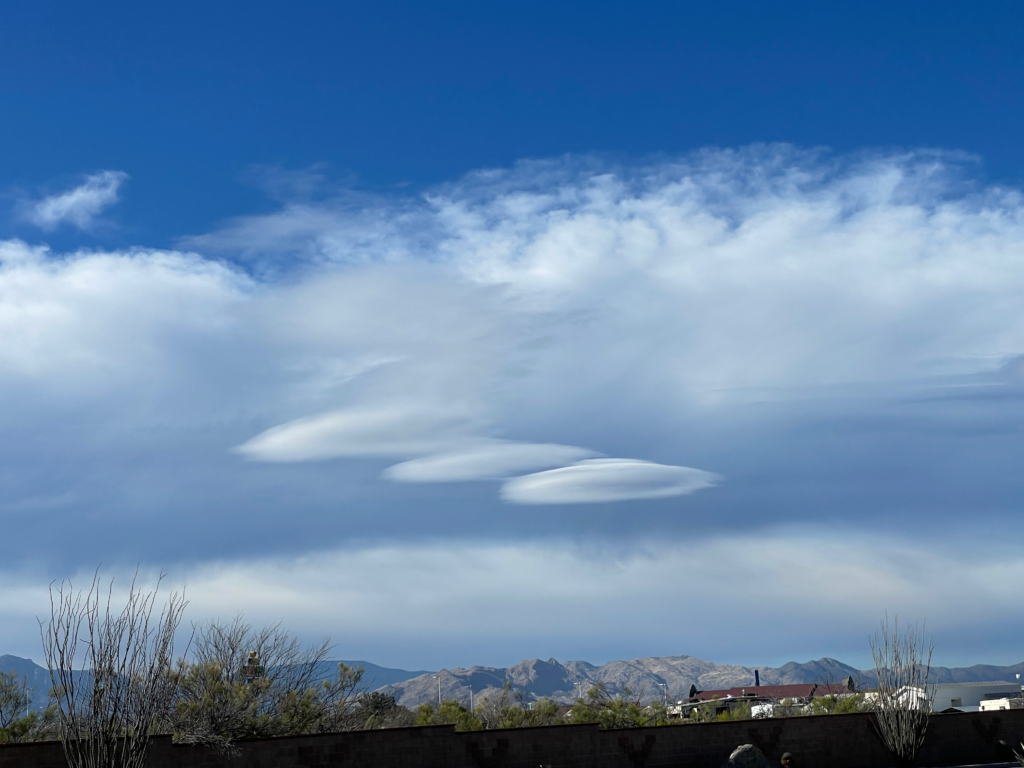
Lenticular Clouds – UFOs
Lenticular clouds are shaped like glass lenses or ufos or Flying Saucers in the Clouds! They may get their shape from hilly terrain or just the way the air is rising over flat terrain. 1